
The Ultimate Point Lobos Travel Guide

The previous years, we opted for Cancun, but this year, we wanted to explore the outdoors with beautiful scenery and weather. Insert: Monterey, California.
One of the reasons Rebecca and I travel so well together is because we both have similar interests, both enjoy living a healthy lifestyle, and gravitate towards quality with sight-seeing over quantity.
Oh… and we also make Google docs for every trip and research spots to add to the itinerary weeks prior to the trip.

The entire trail from Blue Fish Cove to China Cove is about 7.5 miles. There are other side trails that connect on the coastline area that can add up extra mileage. 10/10 recommend venturing out on each one.
Rebecca researched this spot in particular — Point Lobos State Natural Reserve in Carmel-by-the-Sea, California. Hiking was mandatory on our list, with the scenic coastline and all, so we mapped out the course and penciled it in the itinerary. Emphasis on ‘penciled in’ because one of the concerns we had to deal with was the weather. There were so many blessings on this trip — weather being one of them — and God cleared the rainclouds that day for us and we ended up having plenty of sun on our hike.

QUICK INFO:
** to park inside Point Lobos SNR, vehicles cost $10. However, it’s very limited. Plan on getting there early or later in the day. We recommend going before 9:30 AM if you want to get a spot. OR, you can also park outside along Highway 1 for free.
** you can also walk into Point Lobos State Reserve. There is a good walk from the main entrance, so keep that in mind.
You can also start the trail from different points of the map, but we preferred going counterclockwise from the trail map (below).
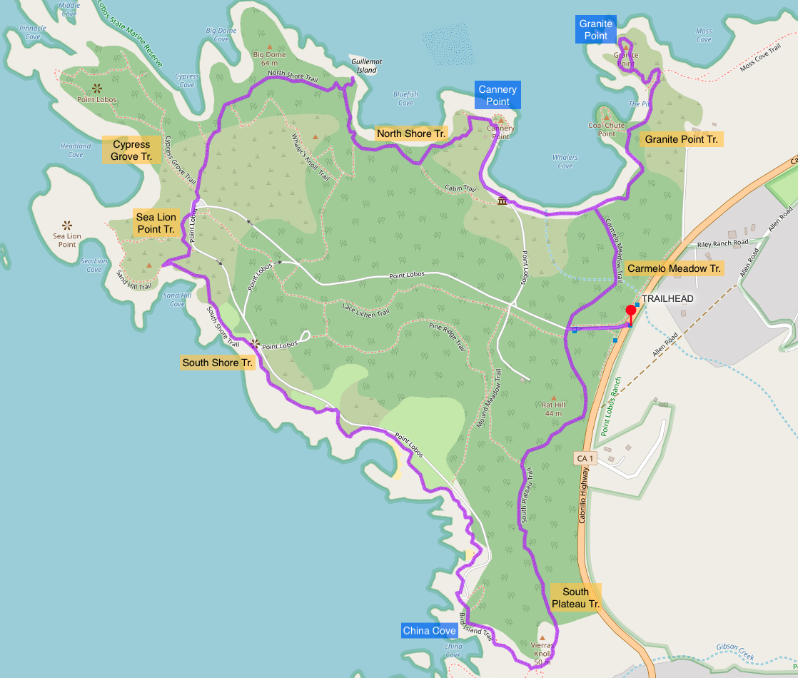
We parked our car at the Point Lobos State Natural Reserve Parking lot right at Cannery Point (above map) / near the Blue Fish Cove Scenic View (below map) and started our hike at 11:15 AM.


Bluefish Cove
From the start, there is an elevation and you’ll see beautiful angles of Bluefish Cove. I think we ended up taking too many photos here because we couldn’t tell if this angle looked better than all the previous angles. LOL.
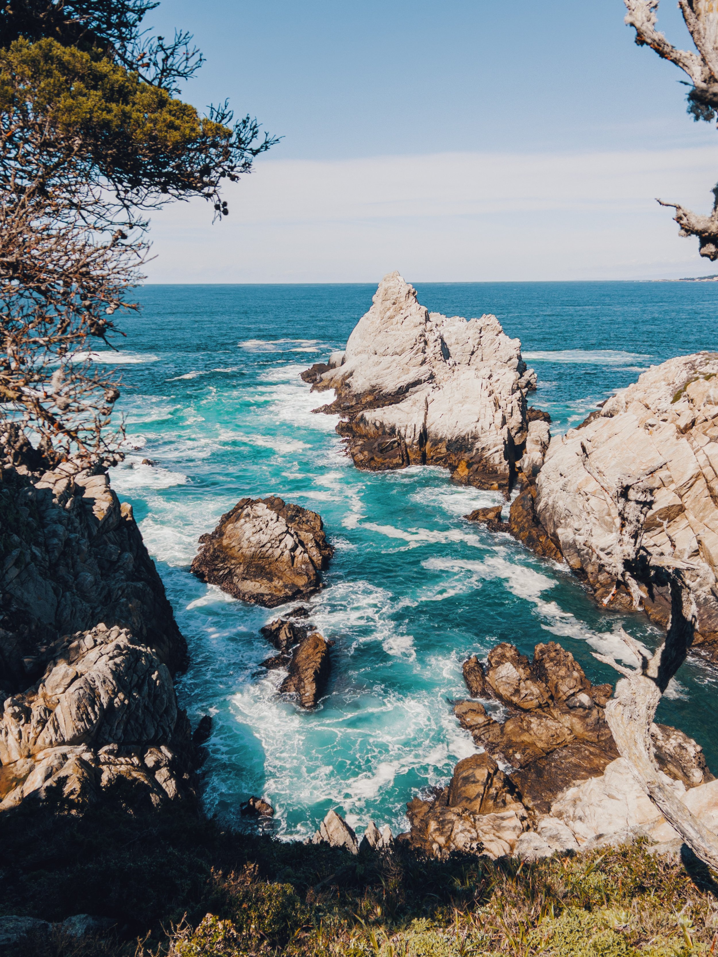
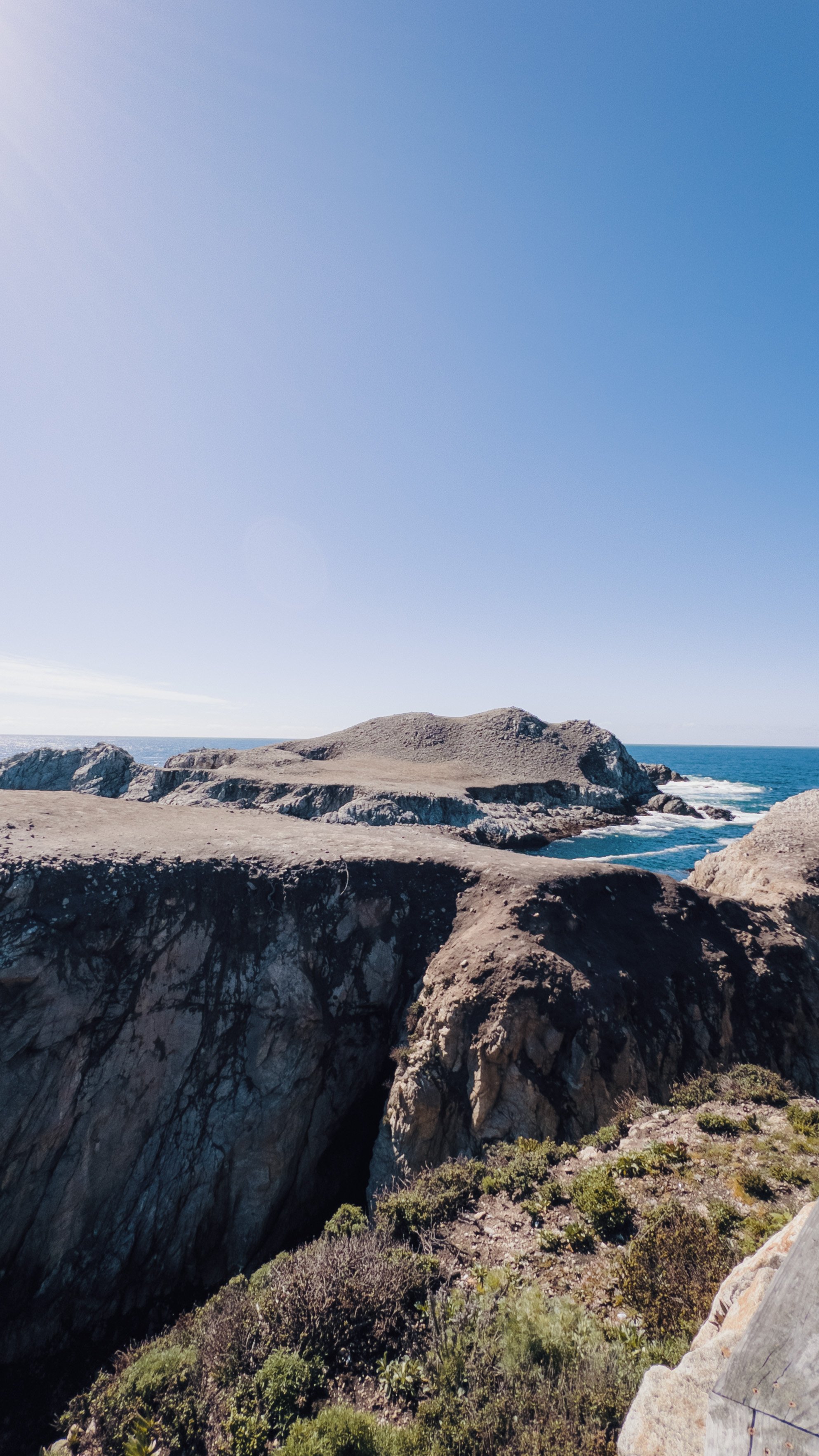
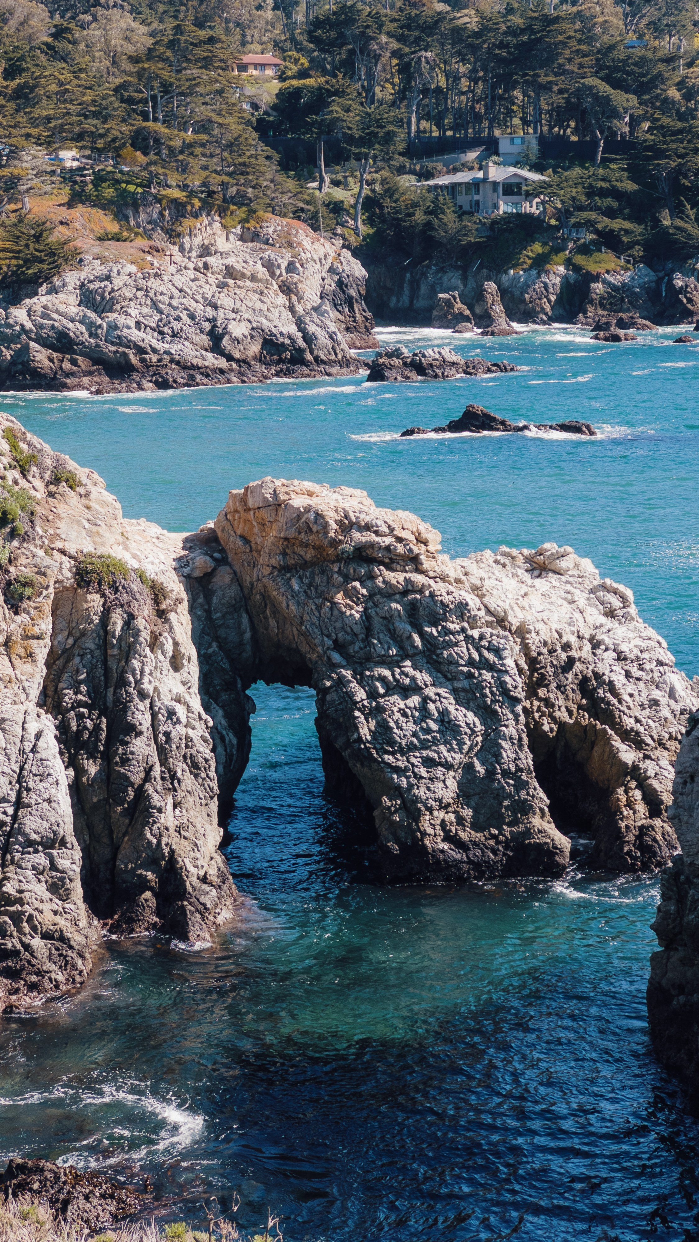
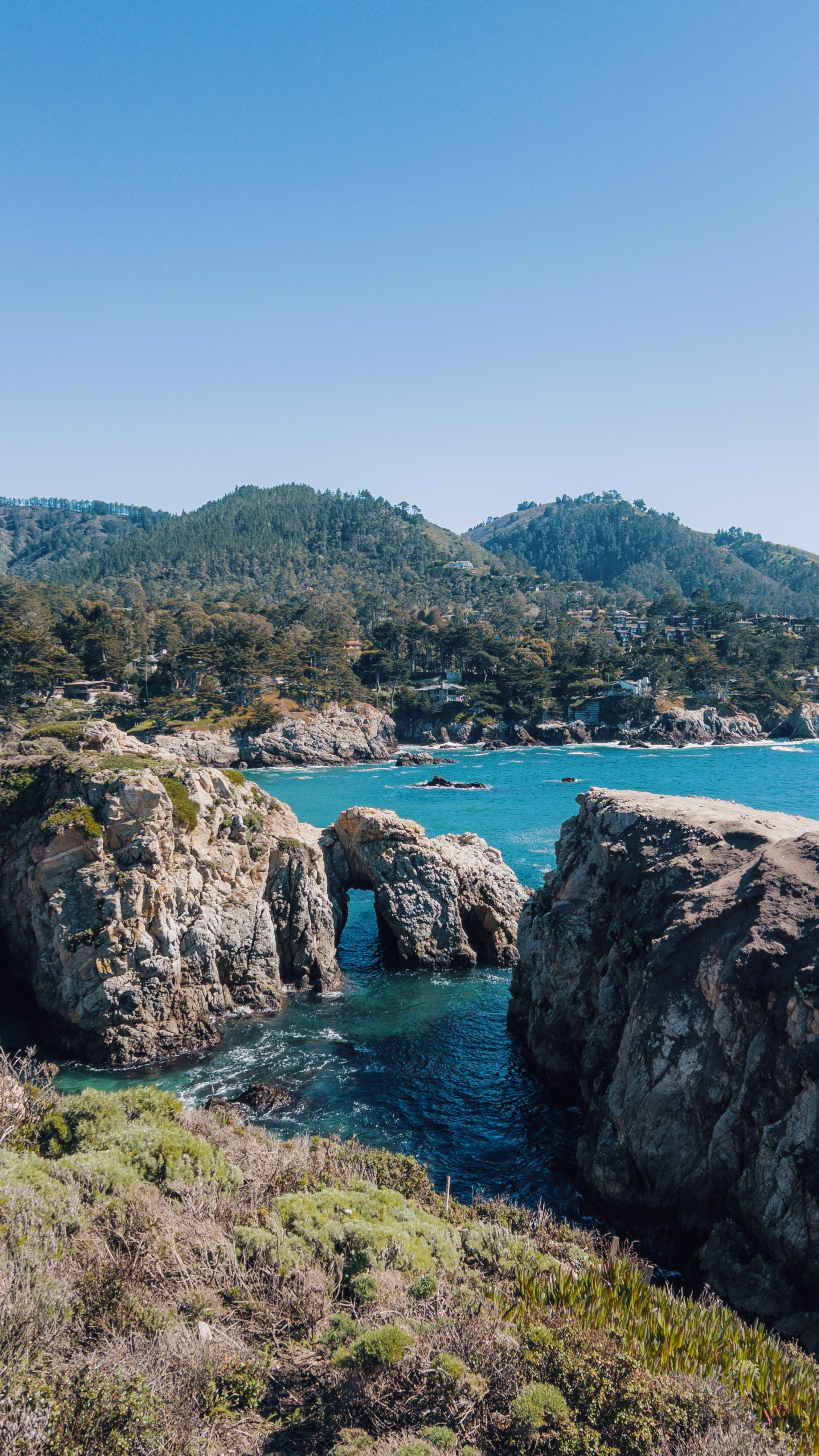
This was in between Big Dome Cove and Cypress Grove.

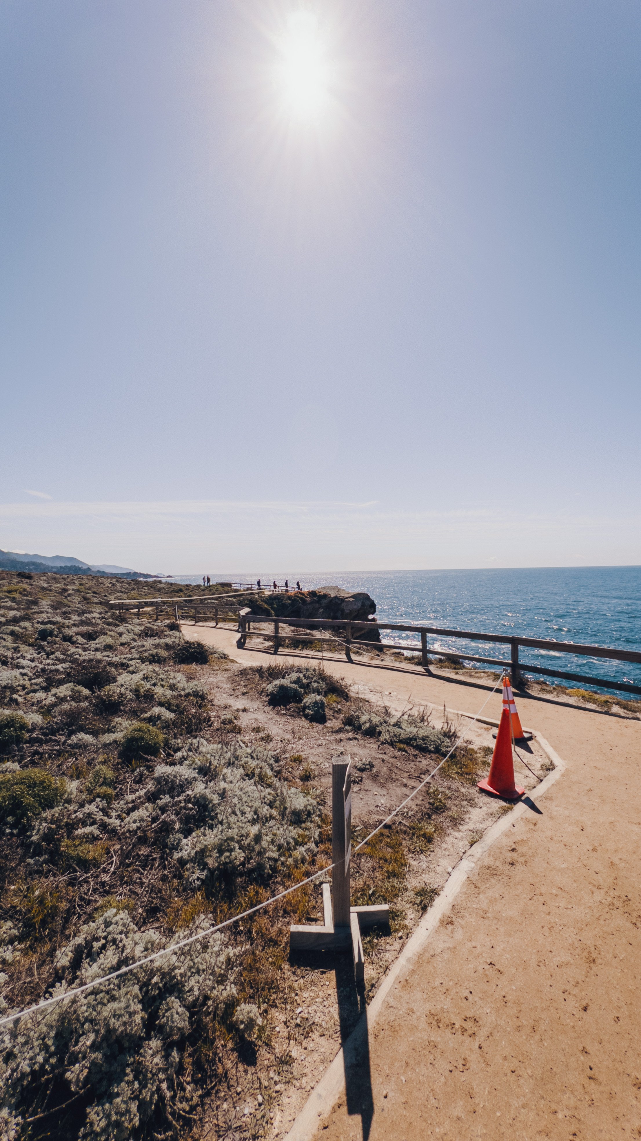
Sea Lion Point
A peek at what the trails look like near the coastline.

Sea Lion Point
This is a beautiful vista point with sea lions lounging on the rocks. However, when we went, there were no sea lions to be found.
Another angle of Sea Lion Point
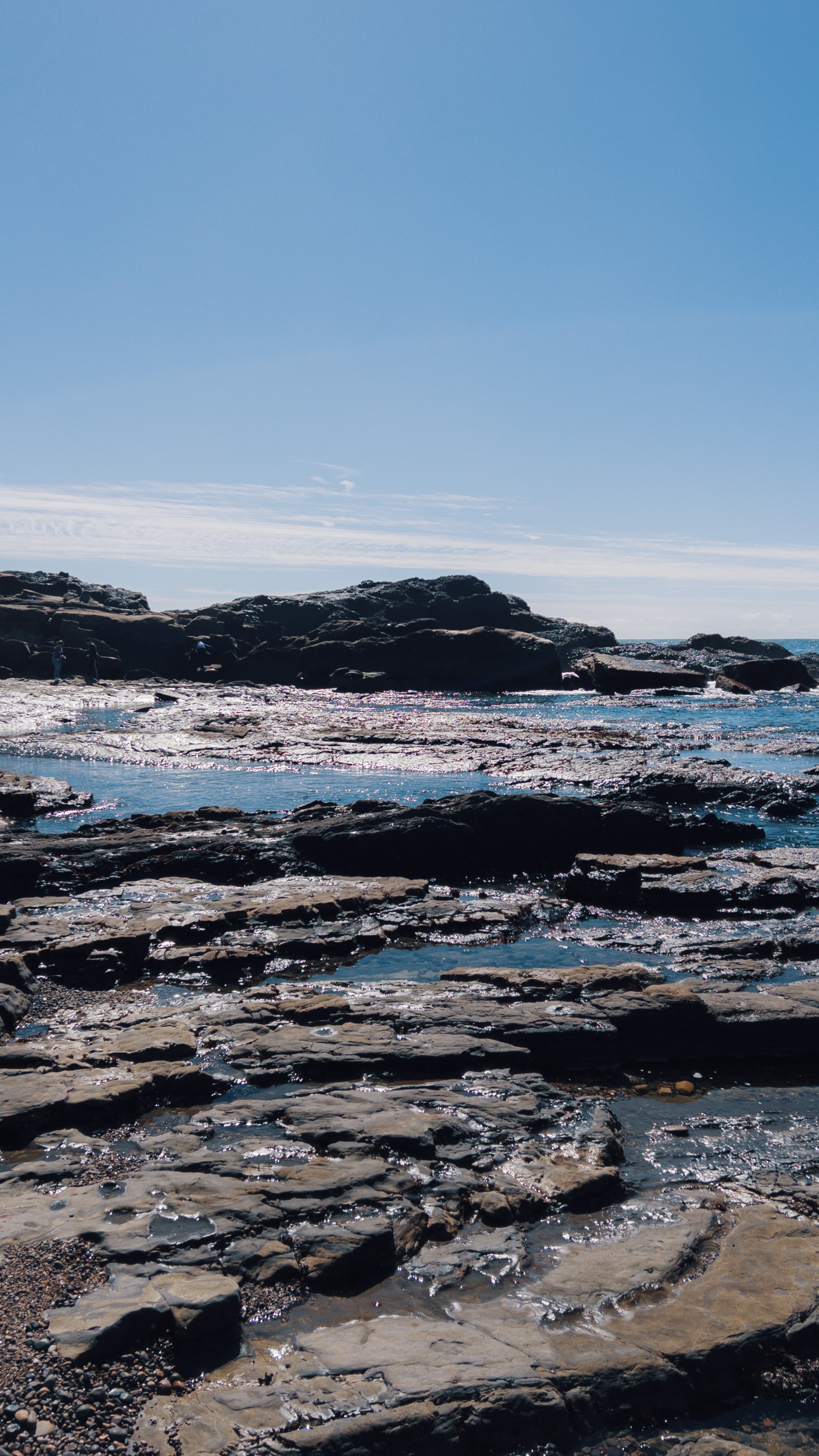
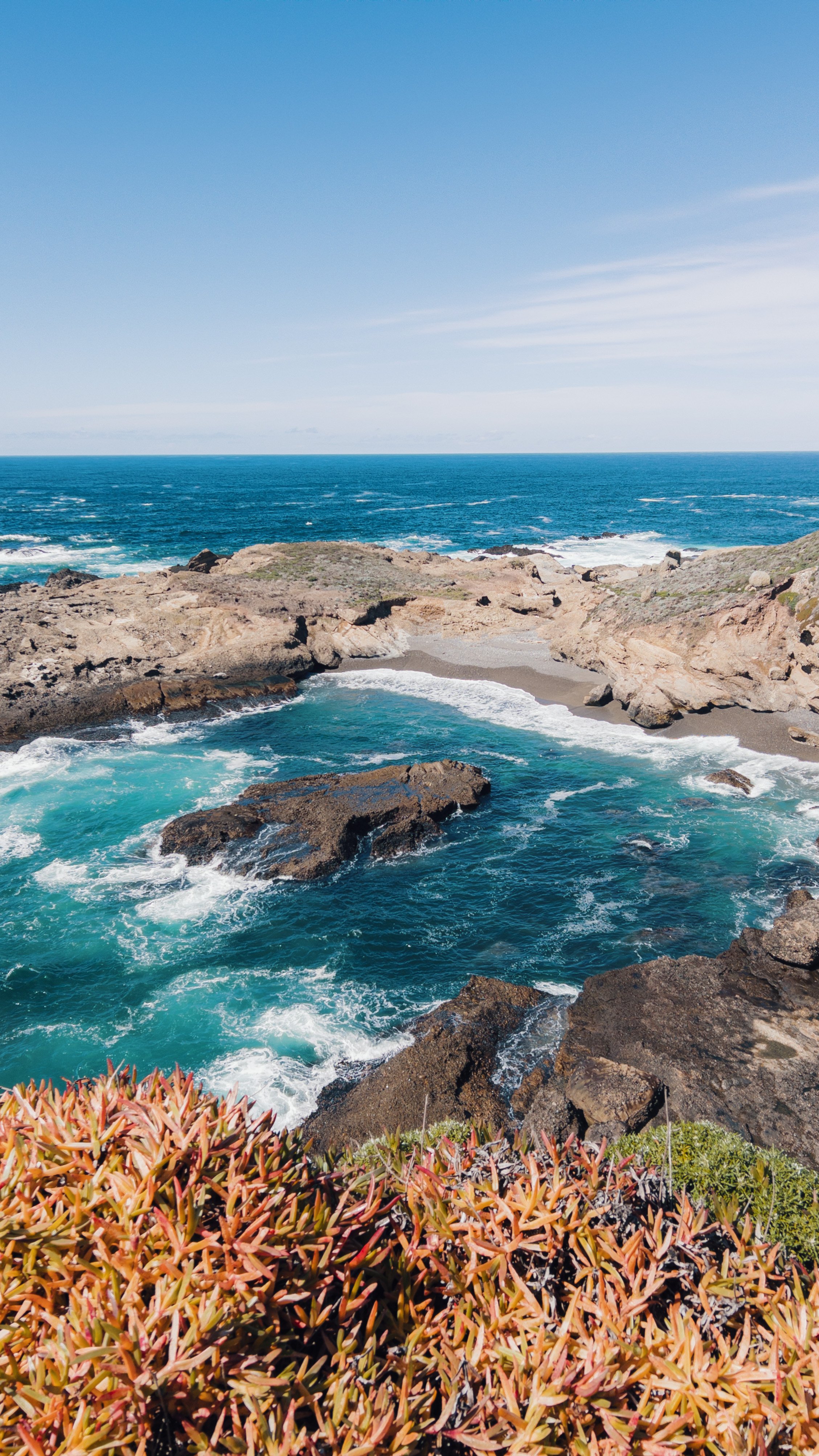
There are areas on the trails where you can walk onto the beach. This was somewhere in between Weston Beach and Hidden Beach along the South Shore Trail.

Hidden Beach
This was a little quaint beach that is more secluded from the rest of the beaches.
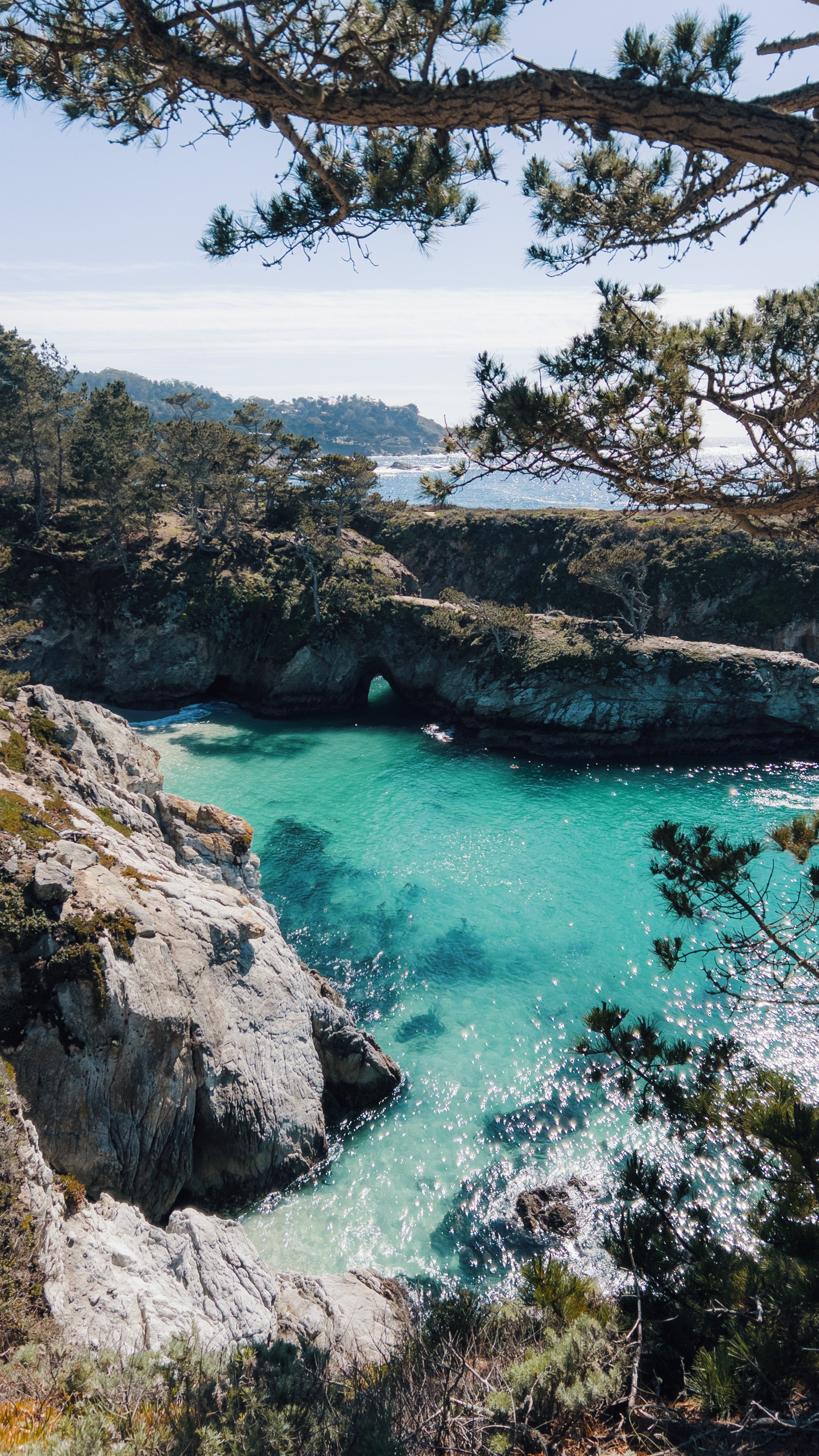
China Cove
I had to save the best part of the hike for last. We were both looking forward to this view and it did not disappoint. The water is actually this vibrant blue and even sparkles in the sun. It was like watching a live painting.
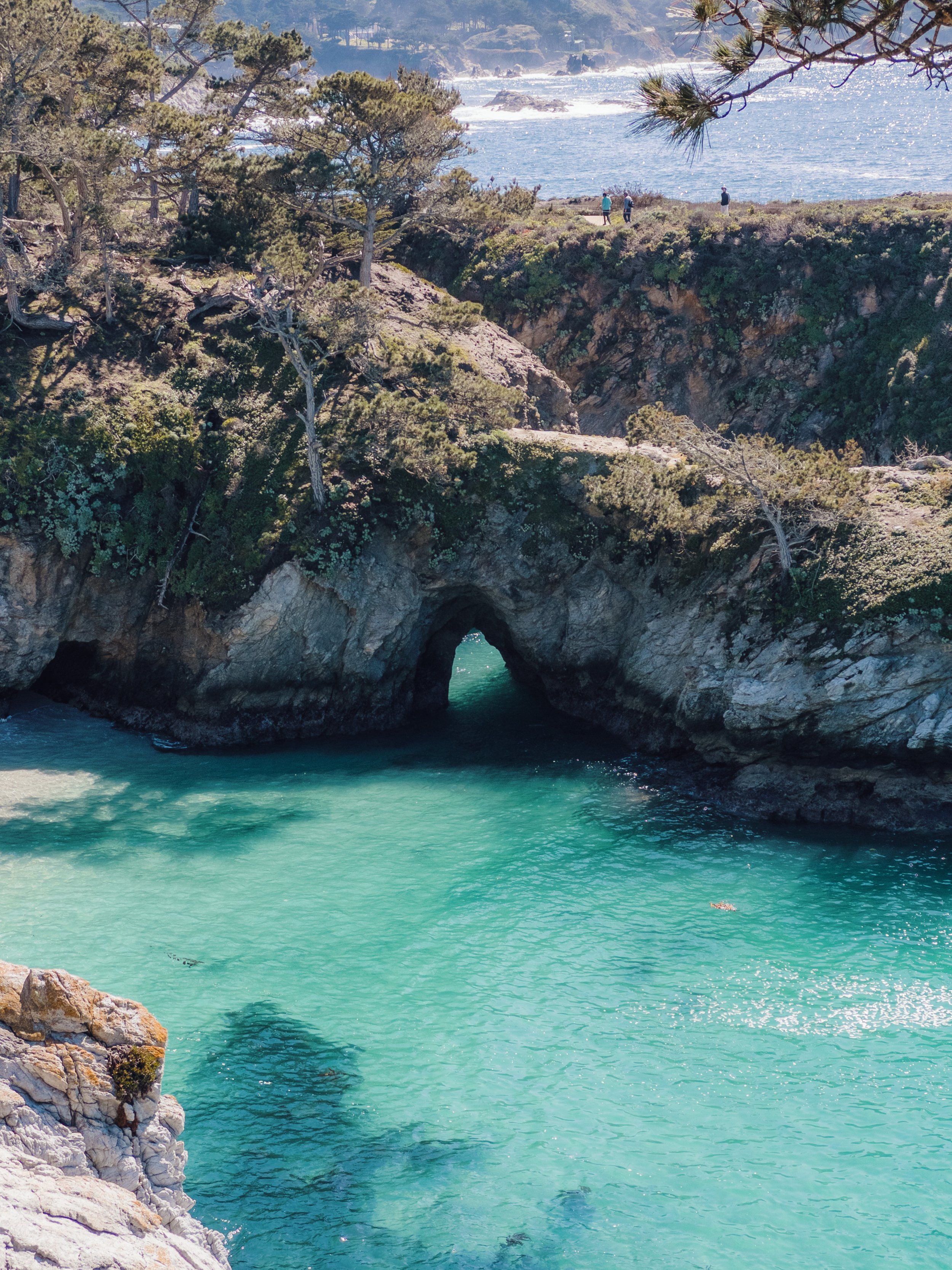
Up close shot of China Cove

After passing China Cove, the trail continues along to Bird Island where there is a lookout to see the birds all perched on a giant rock aka Bird Island.
A shot of the homes by the Bird Island trail.
To conclude, we looped the entire 7.5-mile trail back to the parking lot around 3:30 PM. It took about 4 hours (including bathroom breaks, photo moments, etc.). Another side note: Rebecca and I are super fast walkers, so that also contributed to the shorter hike time.
This is a must visit on your list if you’re in the Monterey Bay Area. It was most definitely one of our favorite moments on our girls trip to Monterey.
Thanks for reading!