
Best Hiking Trails on the Blue Ridge Parkway

Growing up in North Carolina always had its perks.
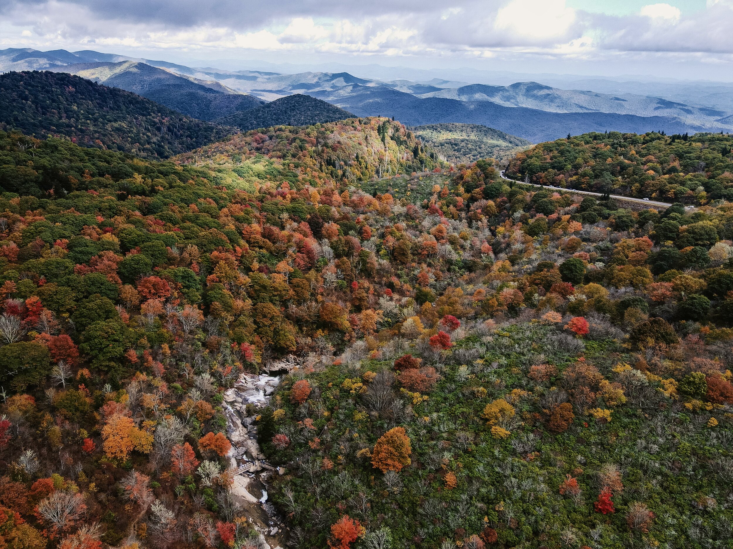
During the months of October and November, I’d take advantage of the peak foliage and either go on a road trip with family or friends to Asheville. For those of you who are unfamiliar with the Blue Ridge Parkway… let’s just say that it’s one of the country’s greatest hiking trailheads. It’s more than just a scenic drive, though the drive has INCREDIBLE high-elevation views, and the Blue Ridge Parkway offers tons of access to all sorts of hiking trails. What I love about the Blue Ridge Parkway is that you can go from finding waterfalls to enchanting forests and find a range between leisurely strolls to strenuous climbs.
For my latest hiking adventure in Asheville, my family and I used this tracker to pick out the trails we wanted to visit. My sister and I were particular on picking spots with the most fall foliage and this tracker was really helpful in finding where the fall colors were the strongest.
Fall colors in the Asheville, NC area generally begin in late September, with the highest elevations (above 6,000 feet) seeing the change first. And then the fall colors makes its way down the mountainsides into the valleys and foothills. — source

These trails I’m listing below are better to visit during the fall season because most of them are closed in the winter due to snow and ice.

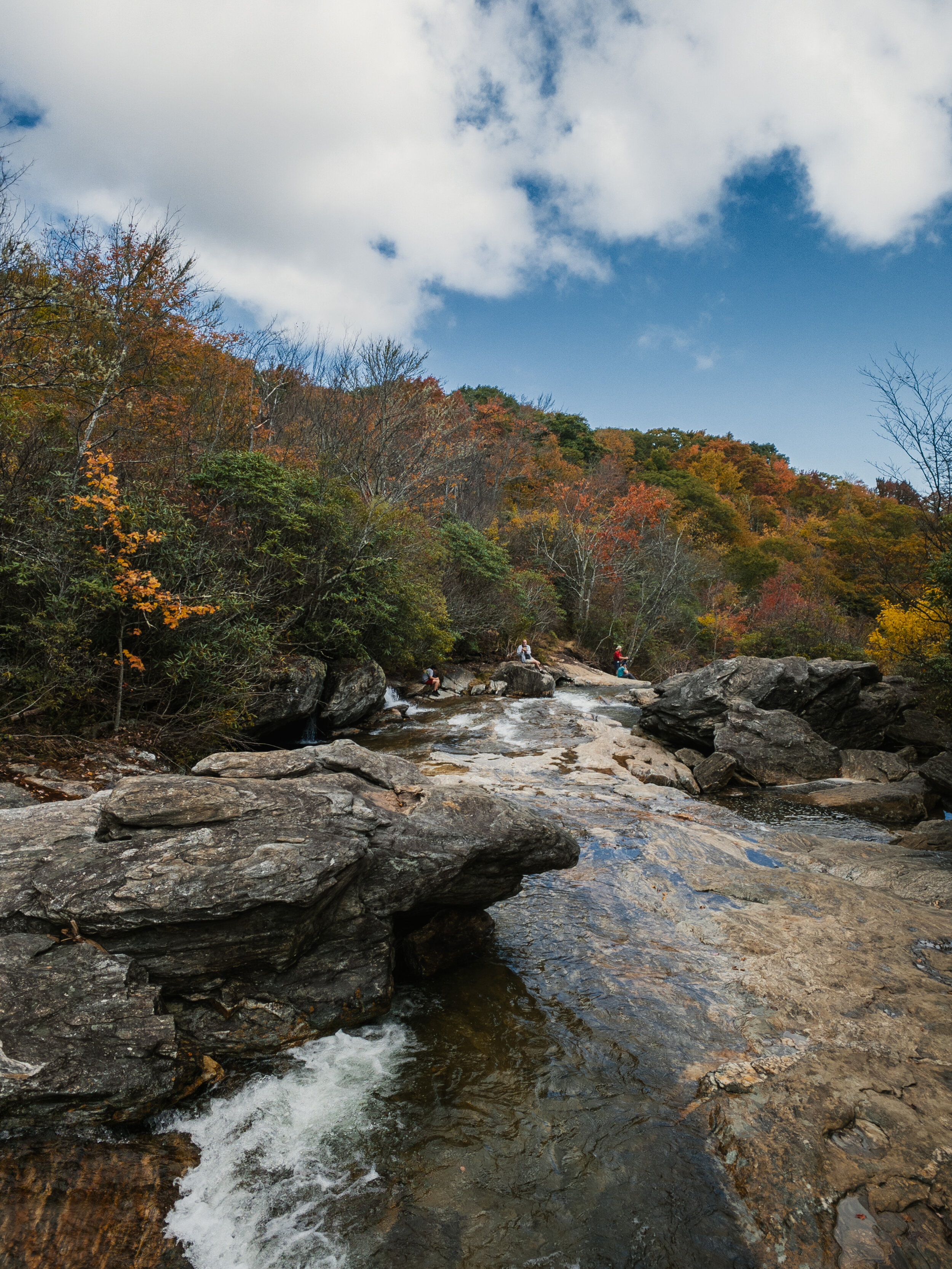
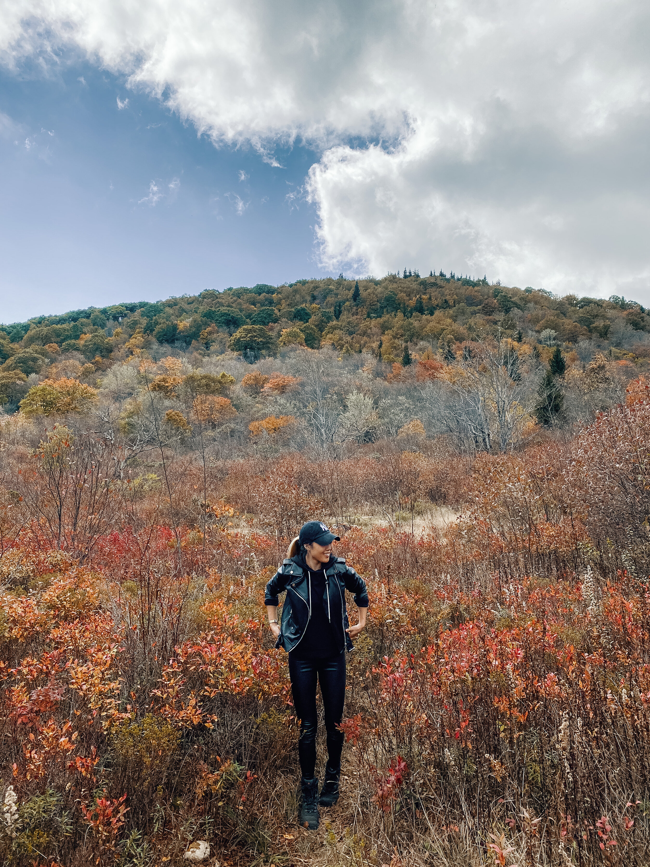
GRAVEYARD FIELDS:
This was first on our hiking trail list because peak fall color is early October, and it’s one of the first spots in the mountains for color. This is a very popular hiking trail, south of Asheville. There are a few options here — you can opt for a short hike to a beautiful waterfall or go on a much-longer 3.5-mile loop to another waterfall. There’s also a public bathroom before the hike, which is a definite plus!
Milepost 418.8. Hike round trip distance: 3.2 miles


As you can see, parts of the trail include walking through valleys with wildflowers surrounded by peaks of the Blue Ridge Mountains.
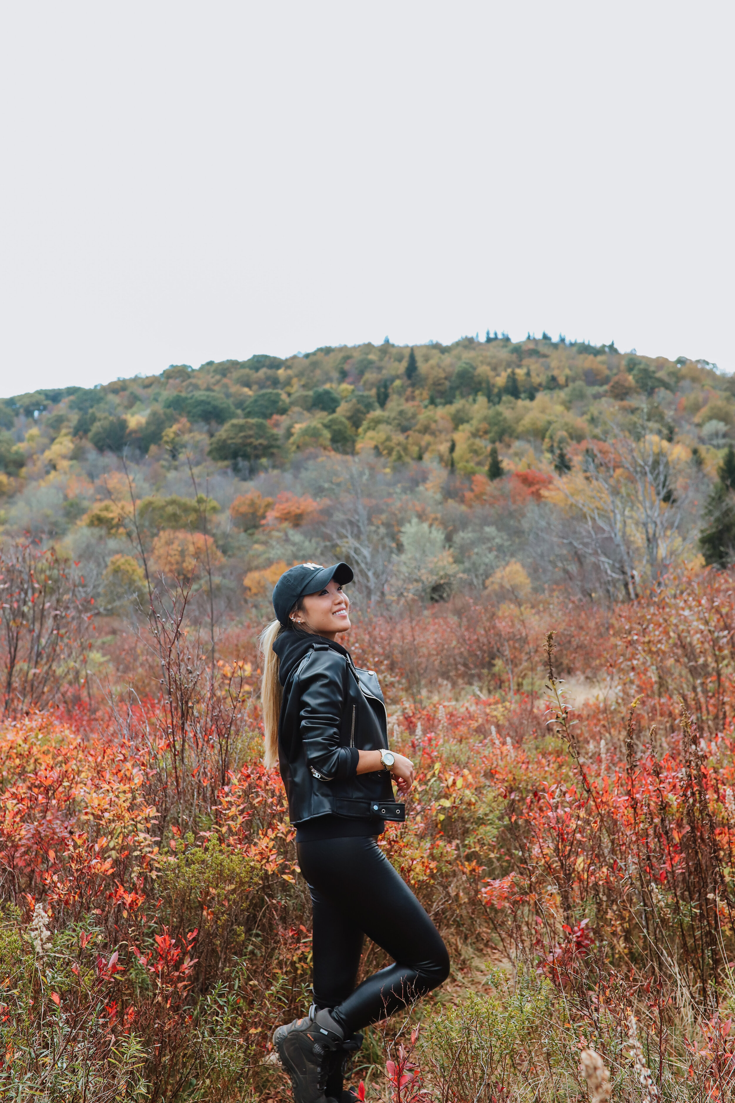
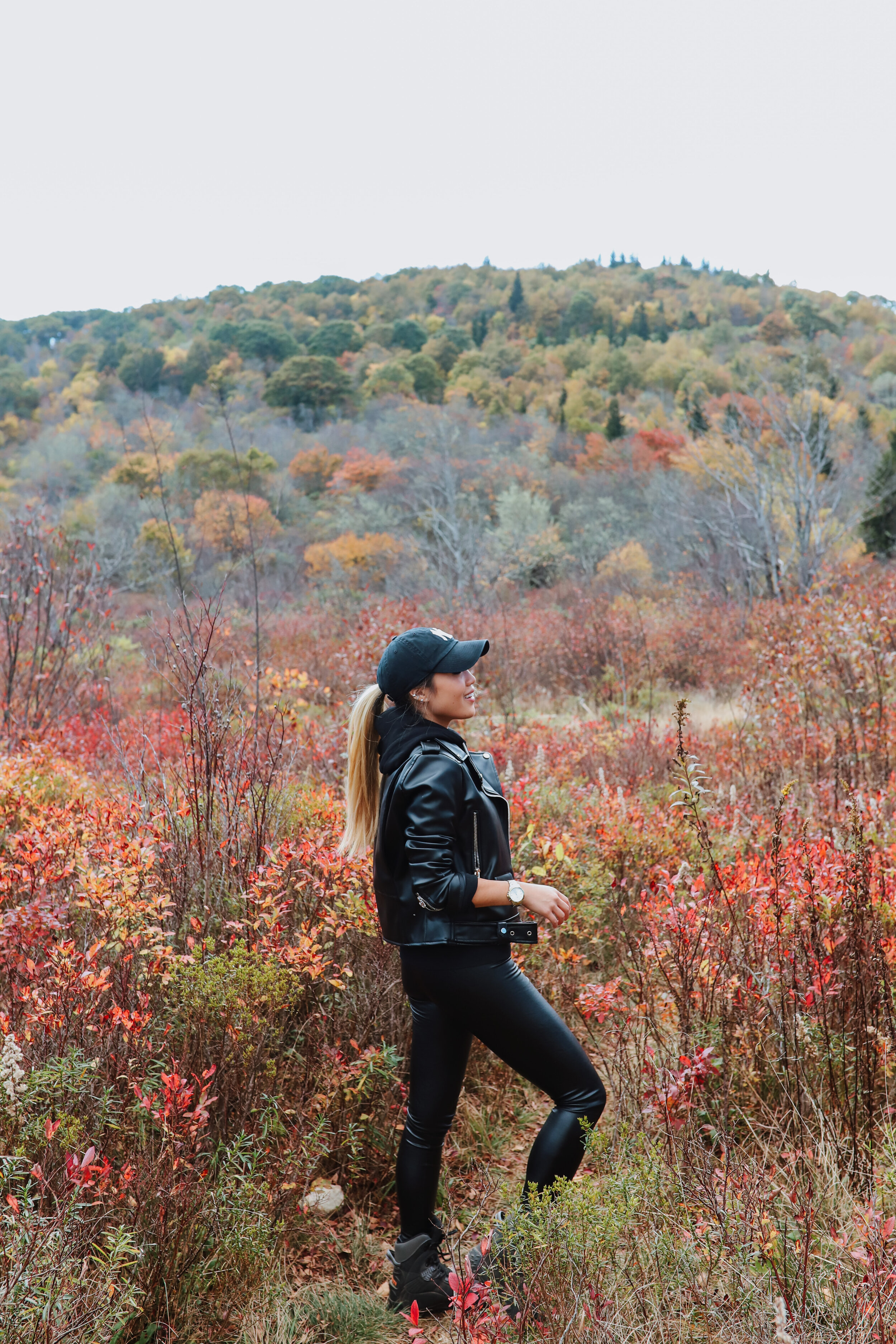
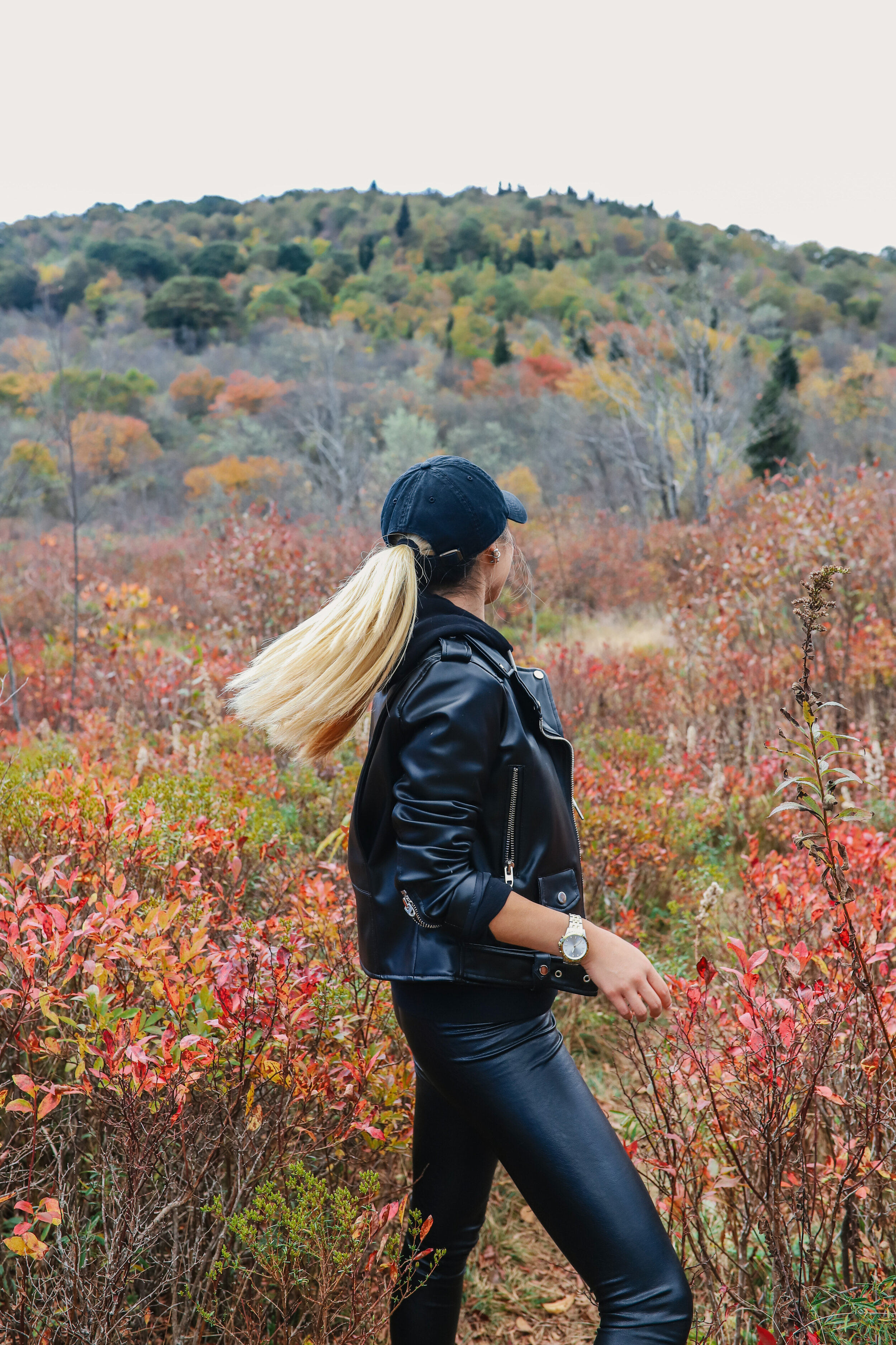
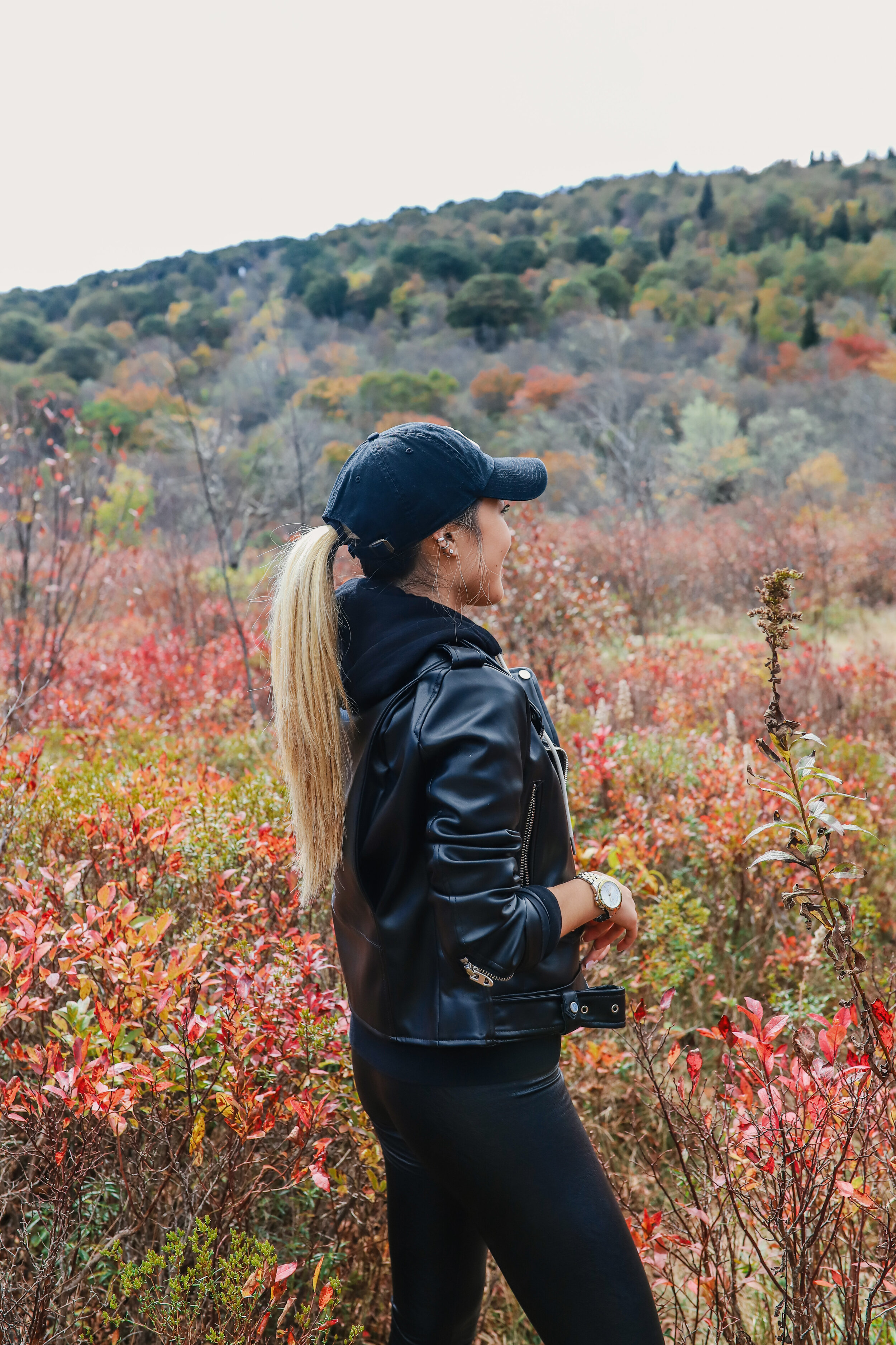

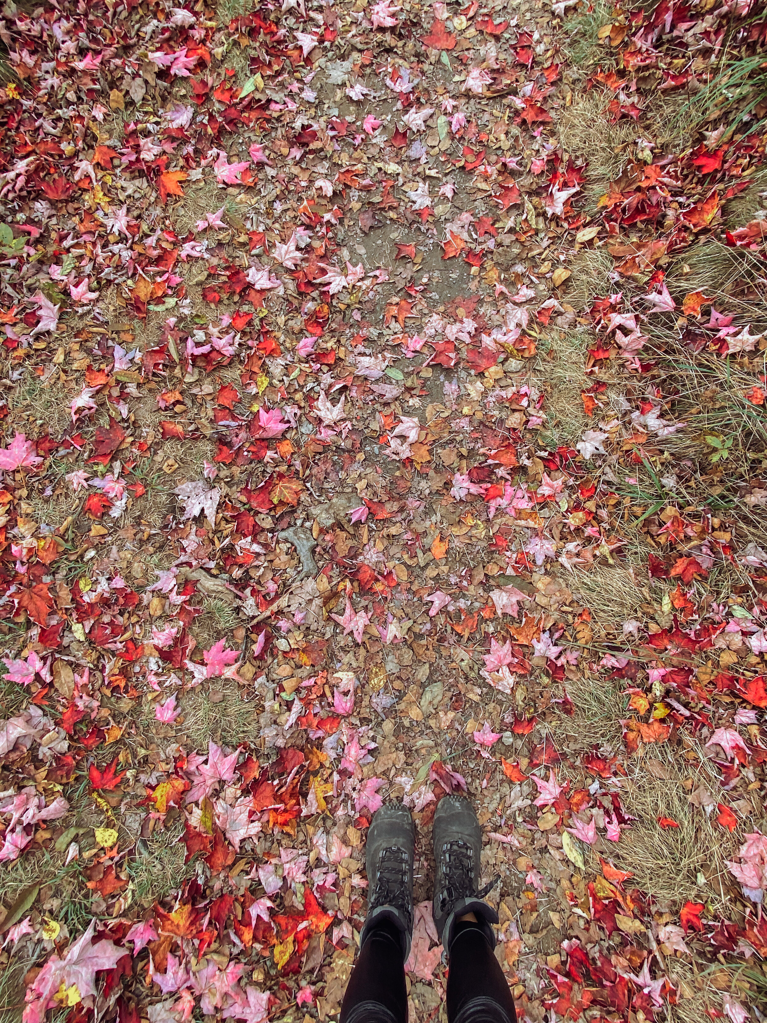
Graveyard Fields got its name because the tree stumps look like grave stones in a graveyard setting. Apparently, the trees were knocked down by a huge wind several hundred years ago. Then in 1925, an intense fire burned the recently logged area, and the forest has been slow in recovering since. — source


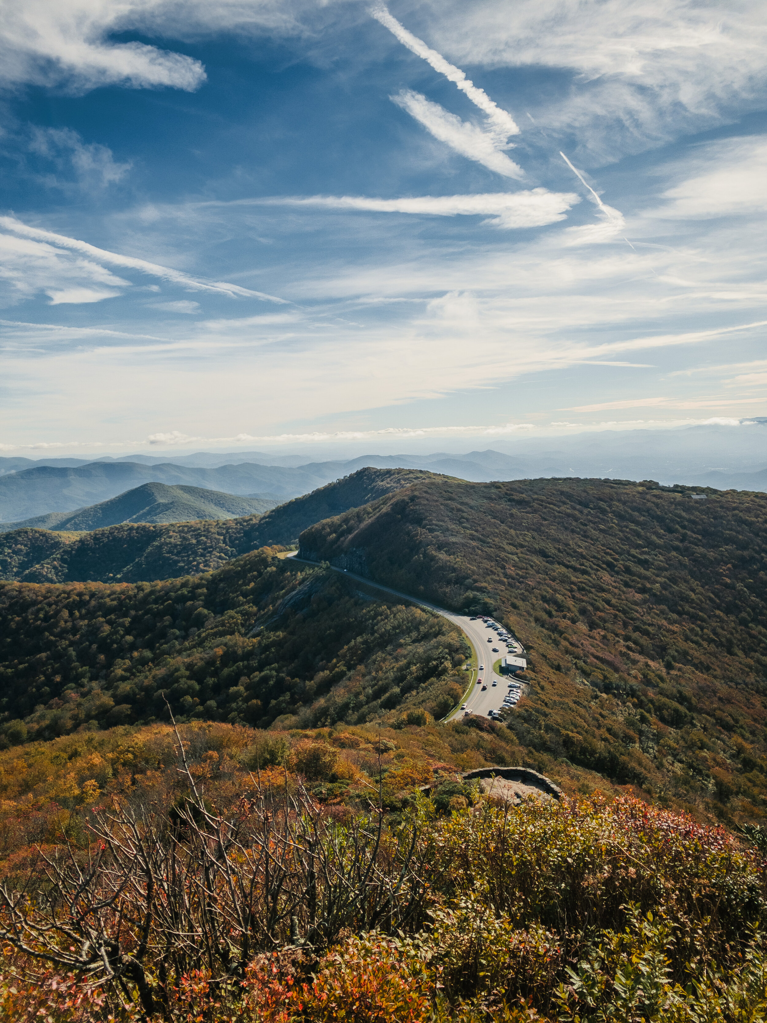
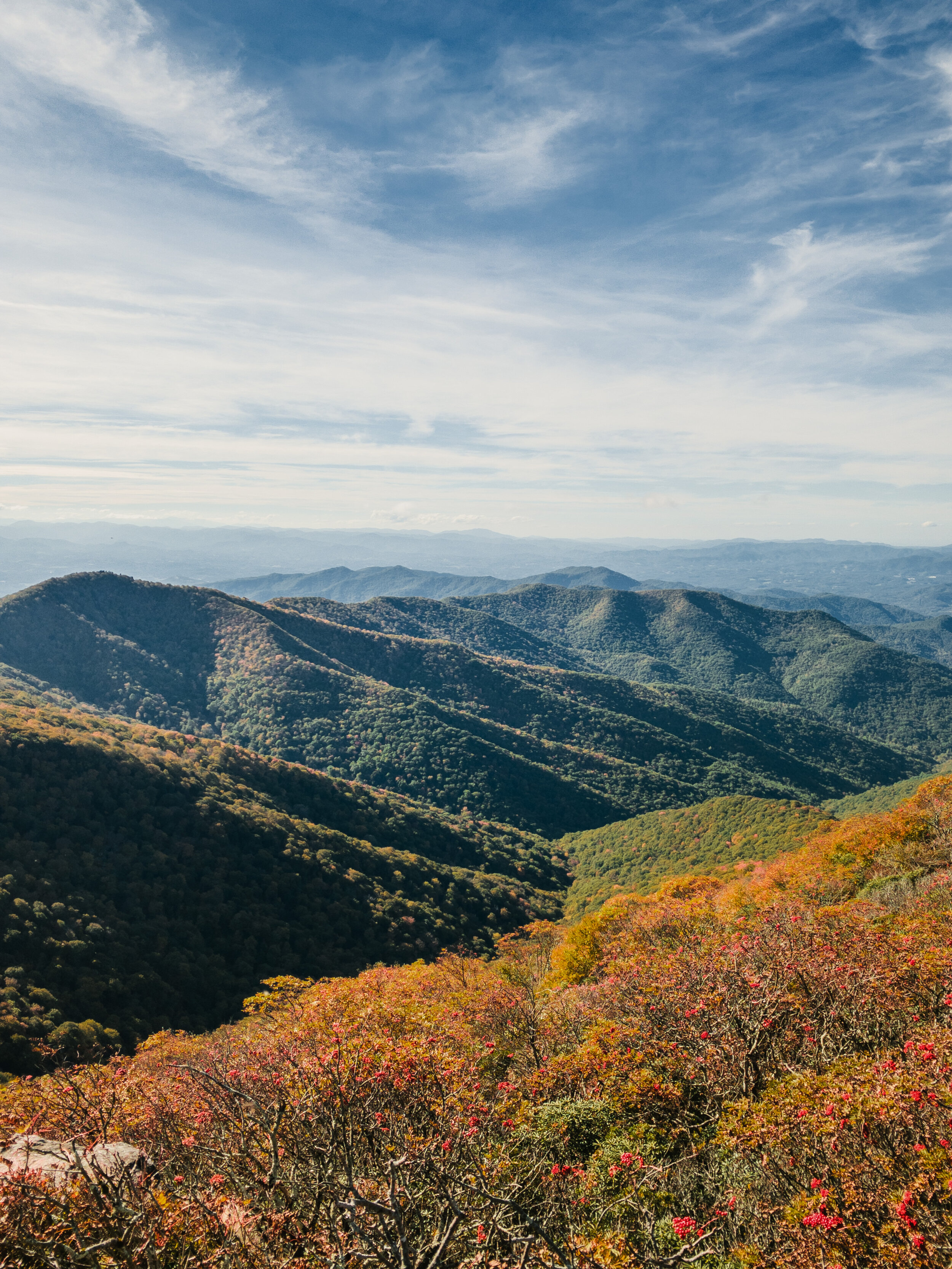
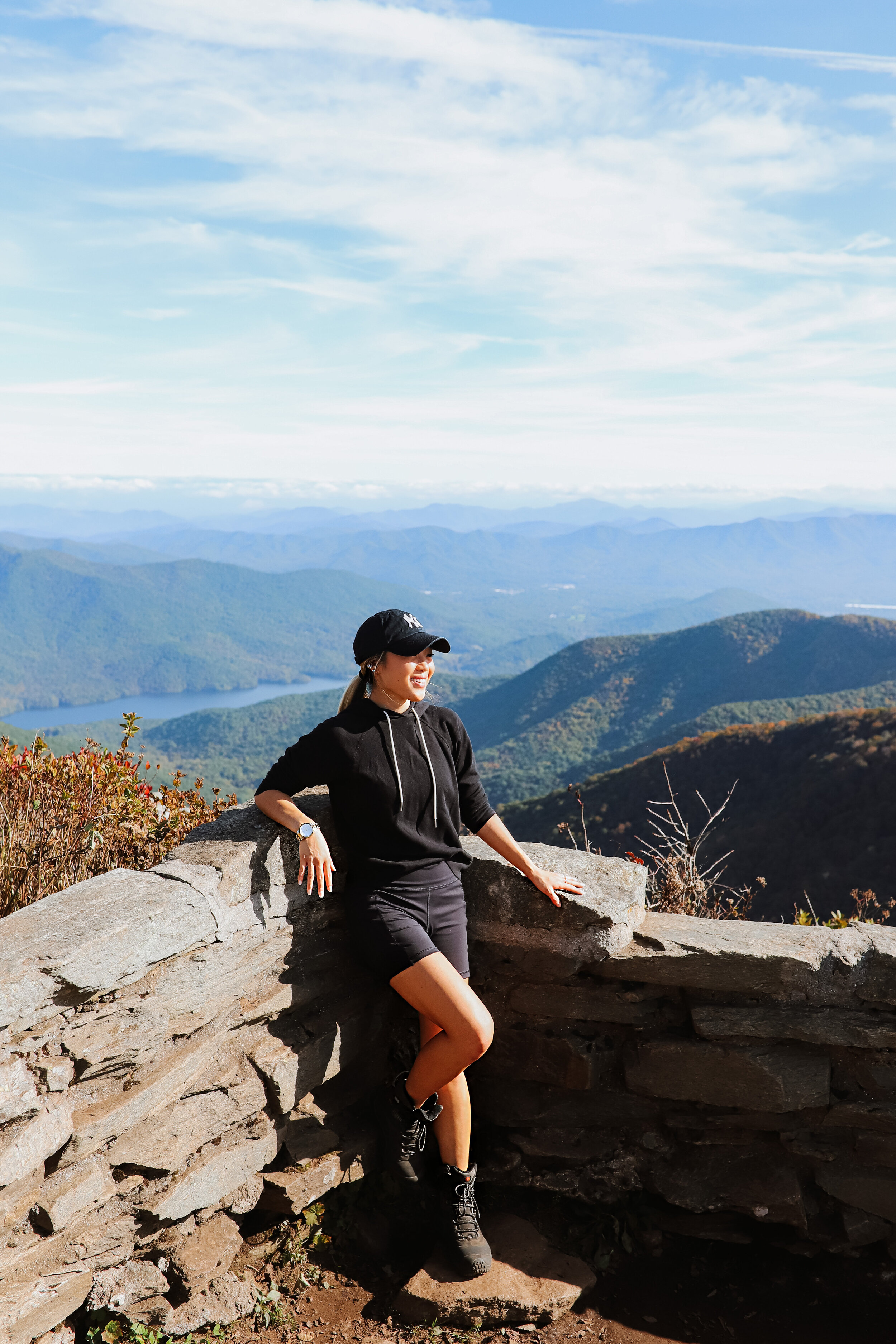
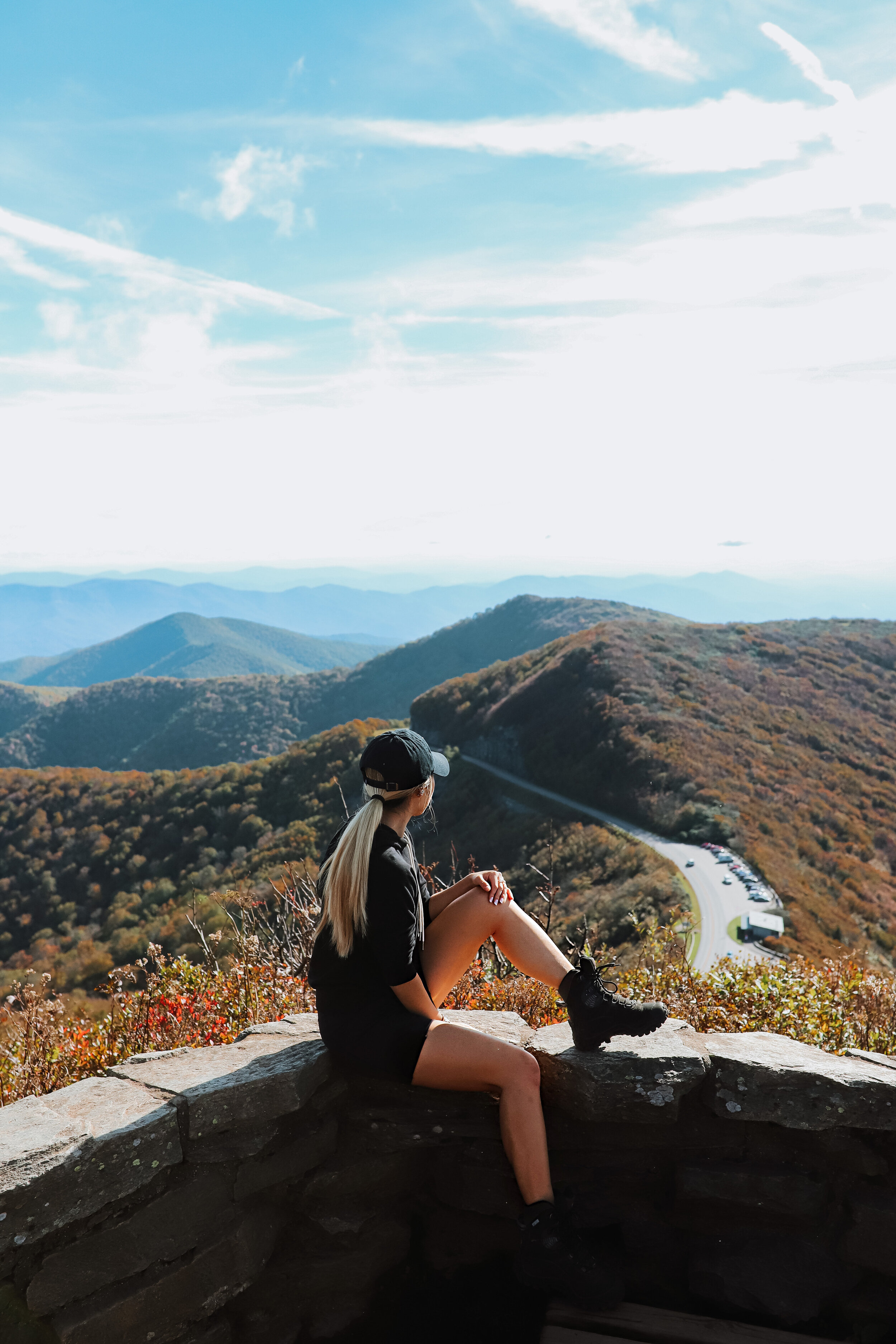
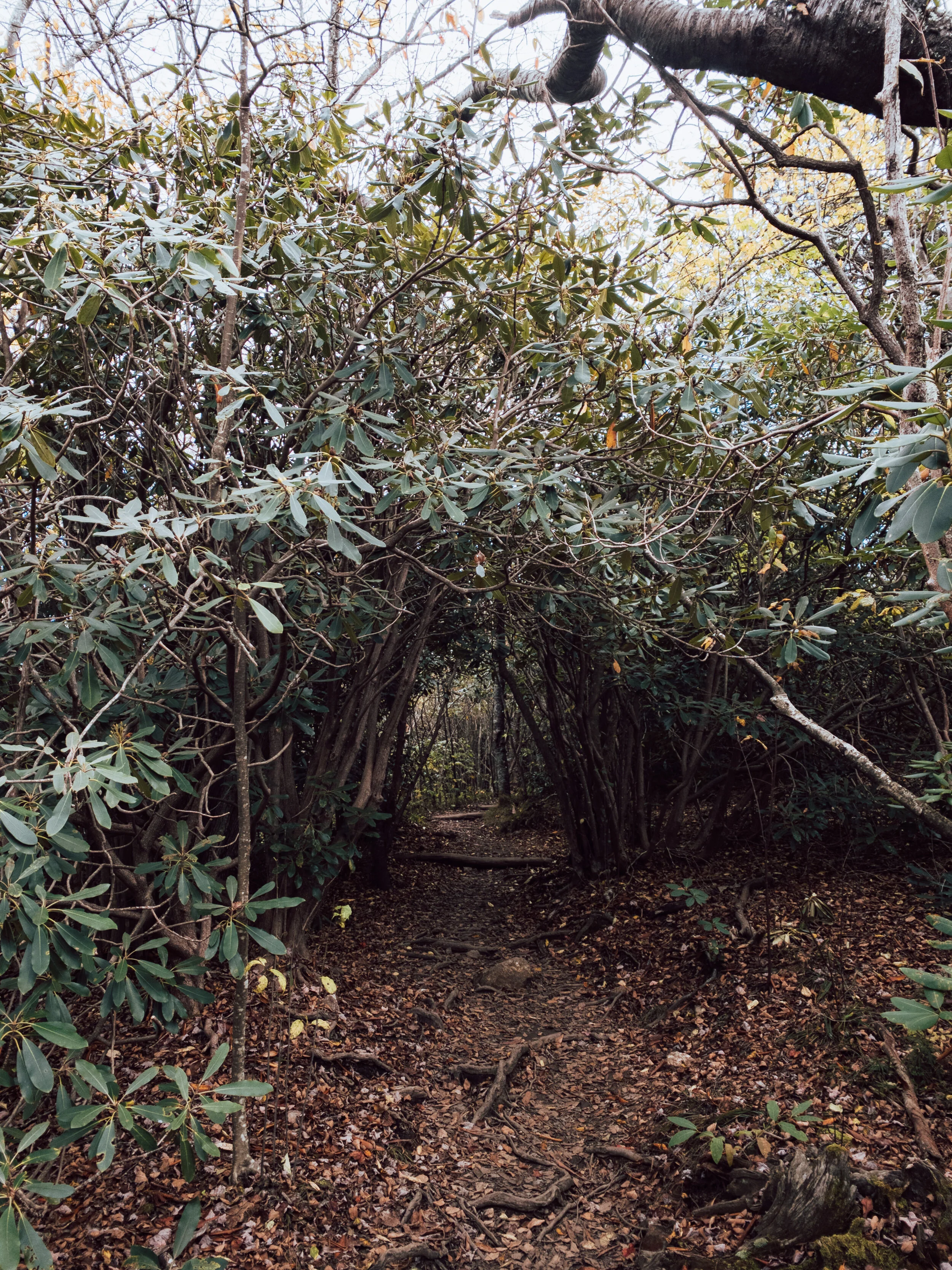
CRAGGY PINNACLE:

The Craggy Pinnacle hike is fairly short, but definitely an uphill climb.
Milepost 364.1. Hike round trip distance: 1.2 miles


At the top, you get a beautiful panoramic 360-degree view of the Blue Ridge Mountains.
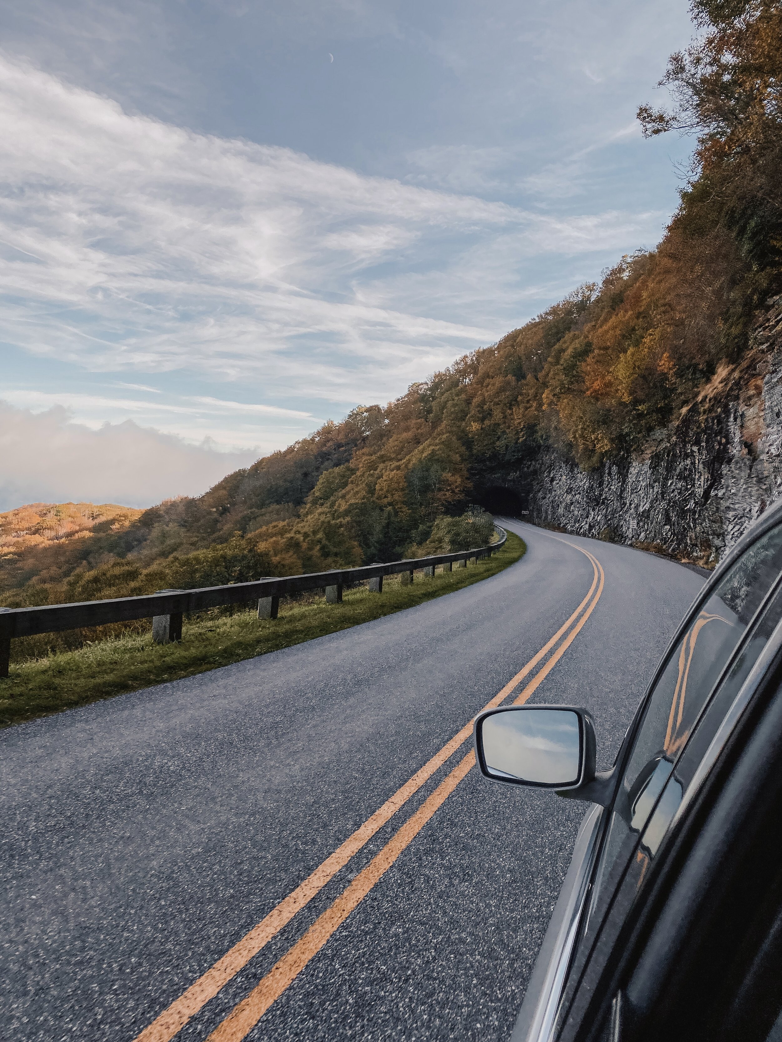
To get to the trailhead, drive north through a short tunnel and pull into the next parking area on the left for the trail. You’ll find a lower and upper parking area where the trail entrance begins.
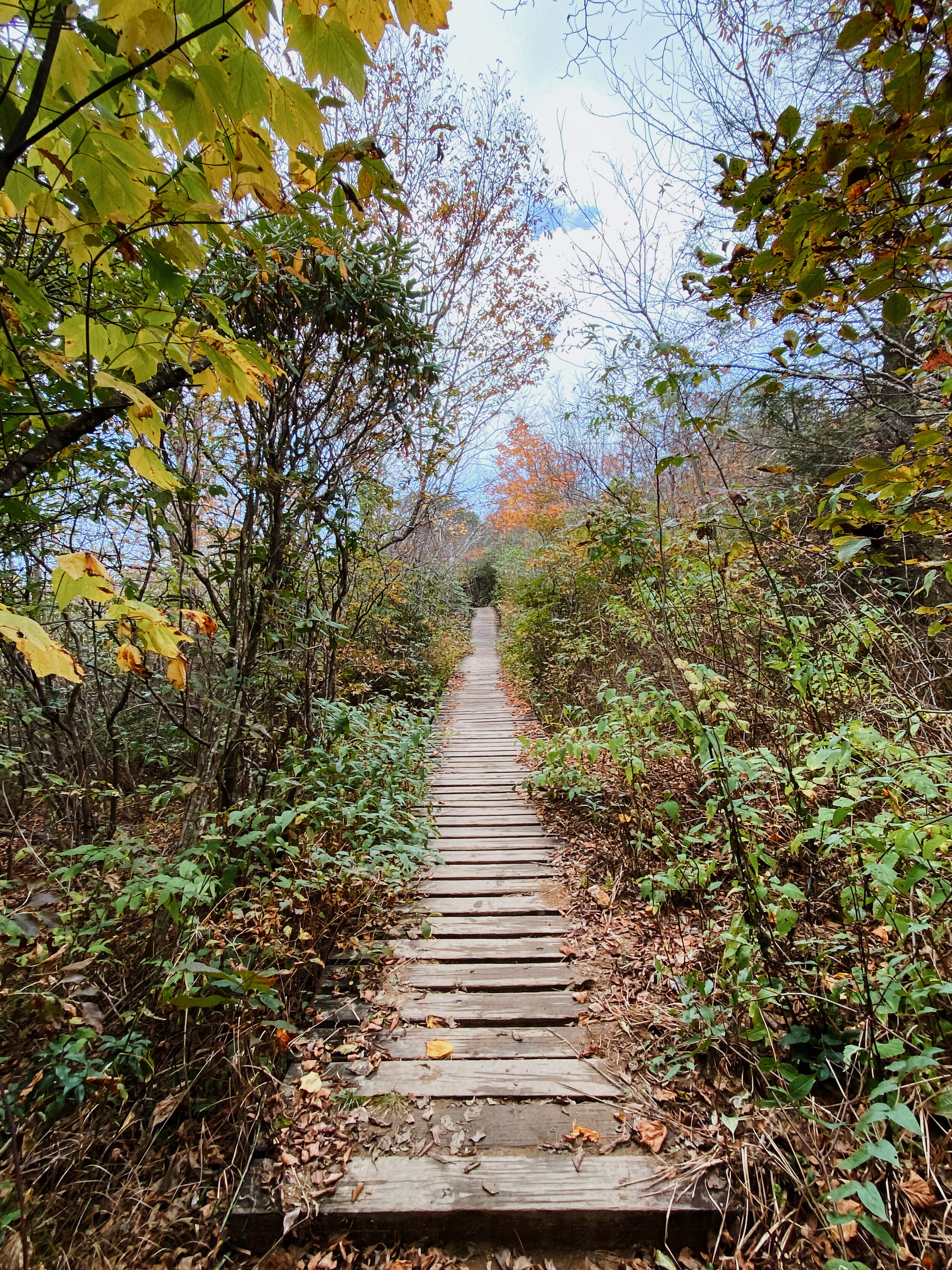
At the Craggy Gardens Visitors Center, you’ll find another 1-mile trail called Craggy Gardens. The Gardens is filled with rhododendron, wildflowers, and beautiful views of the mountain. Located at Milepost 364.4 on the Blue Ridge Parkway.
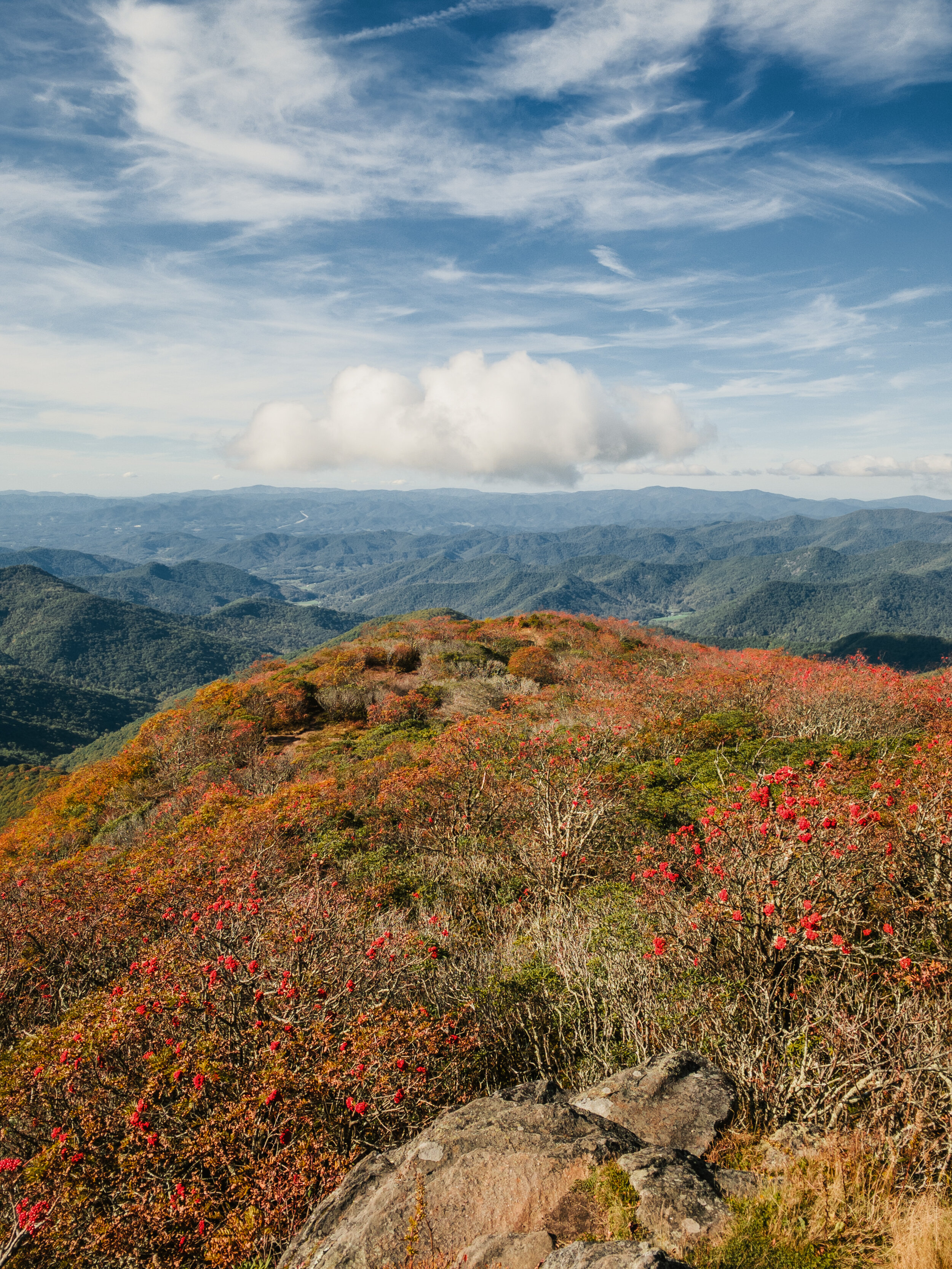

This is the entrance to the Craggy Pinnacle hike.
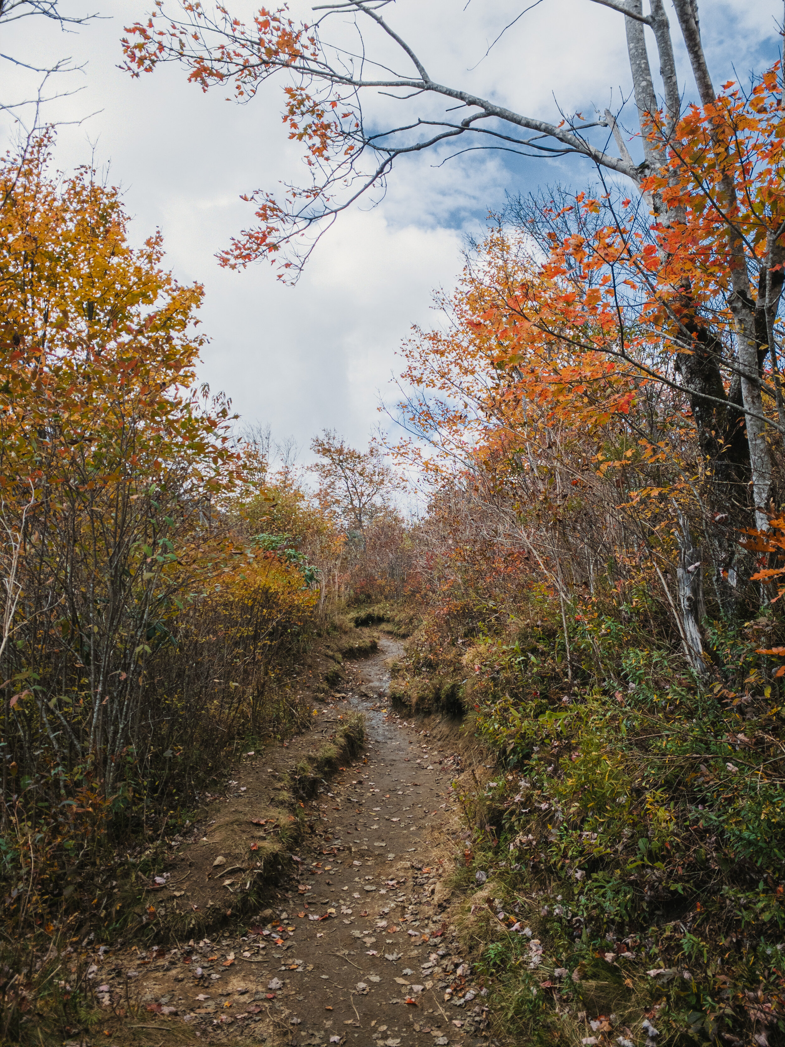
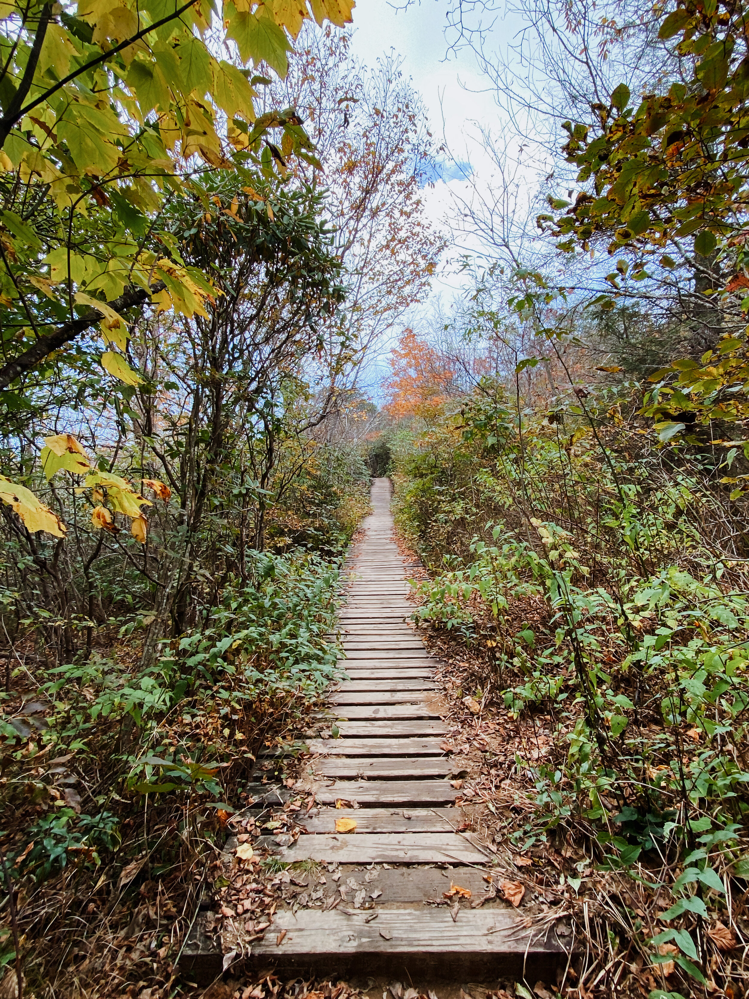
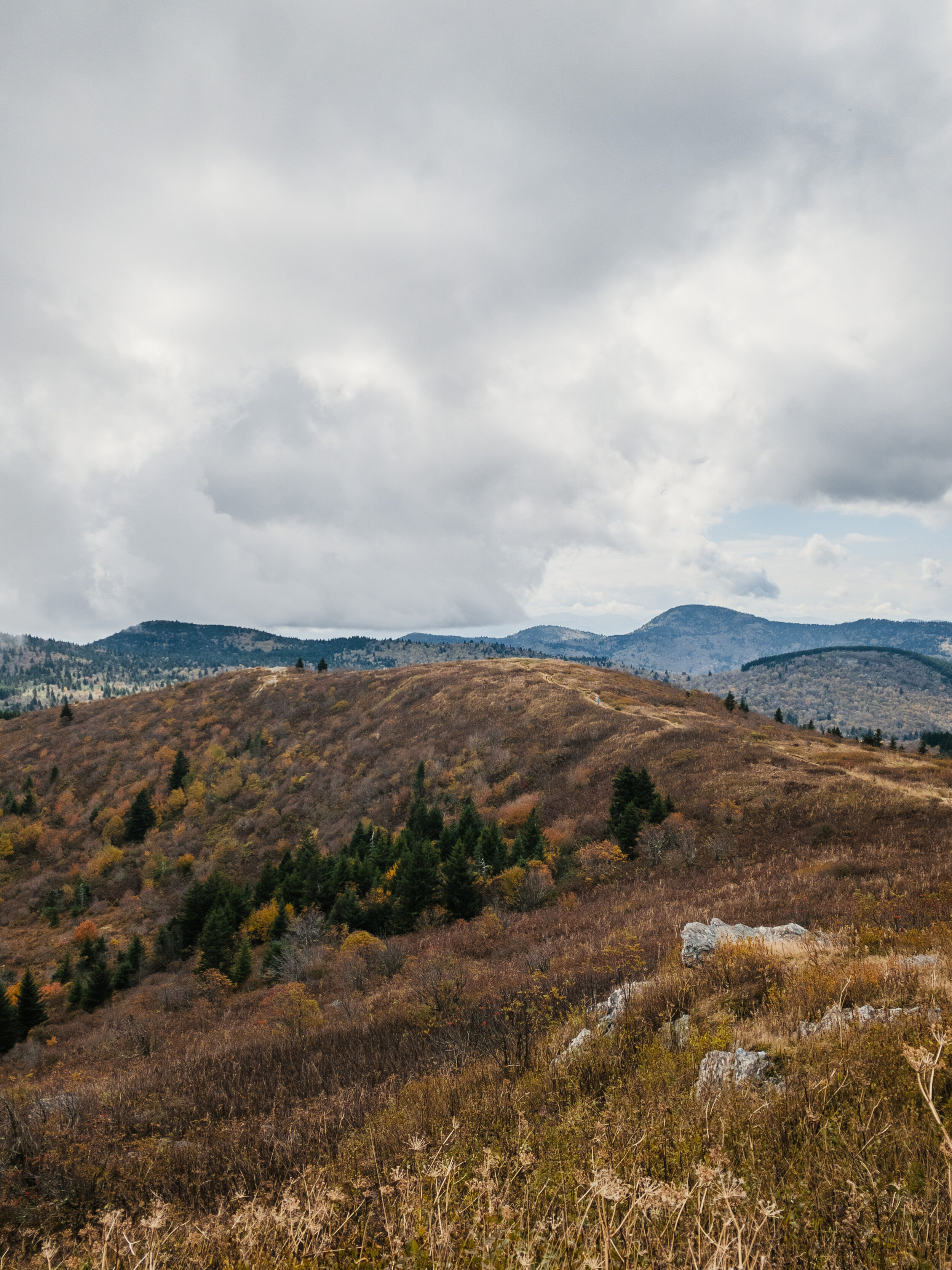
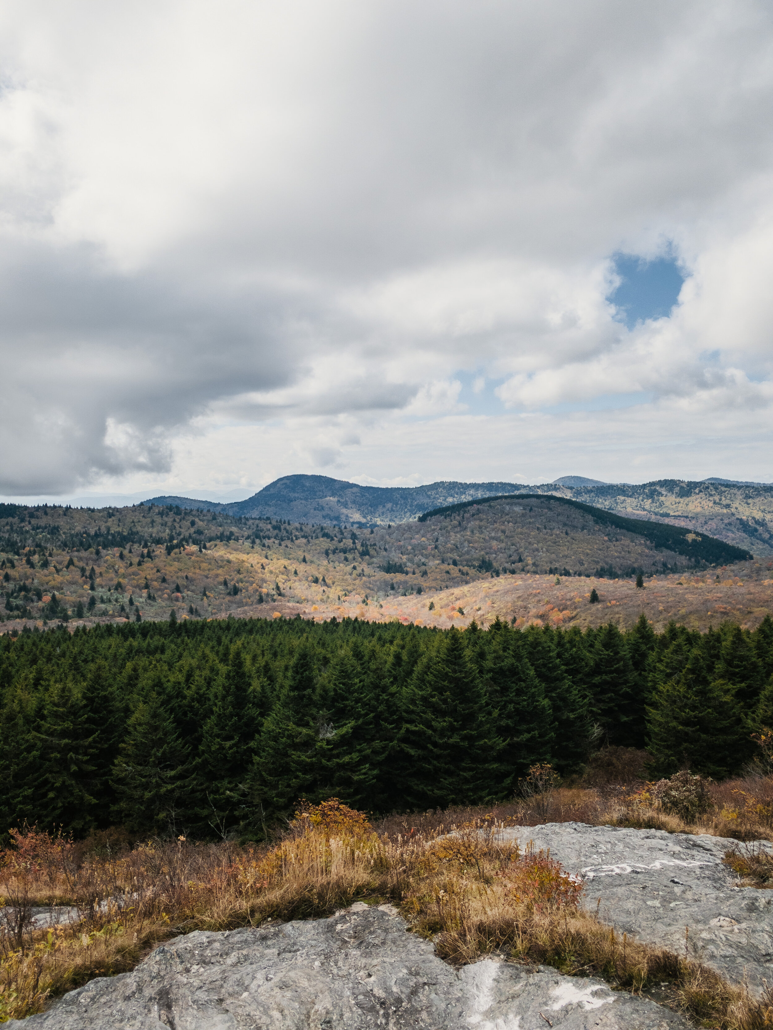
BLACK BALSAM HIKE ON THE ART LOEB TRAIL:

Milepost 420.2. Hike round trip distance (to Black Balsam): 2 miles
There’s a lot of walking through the grove of balsam fir trees before reaching the summit of Black Balsam Knob.

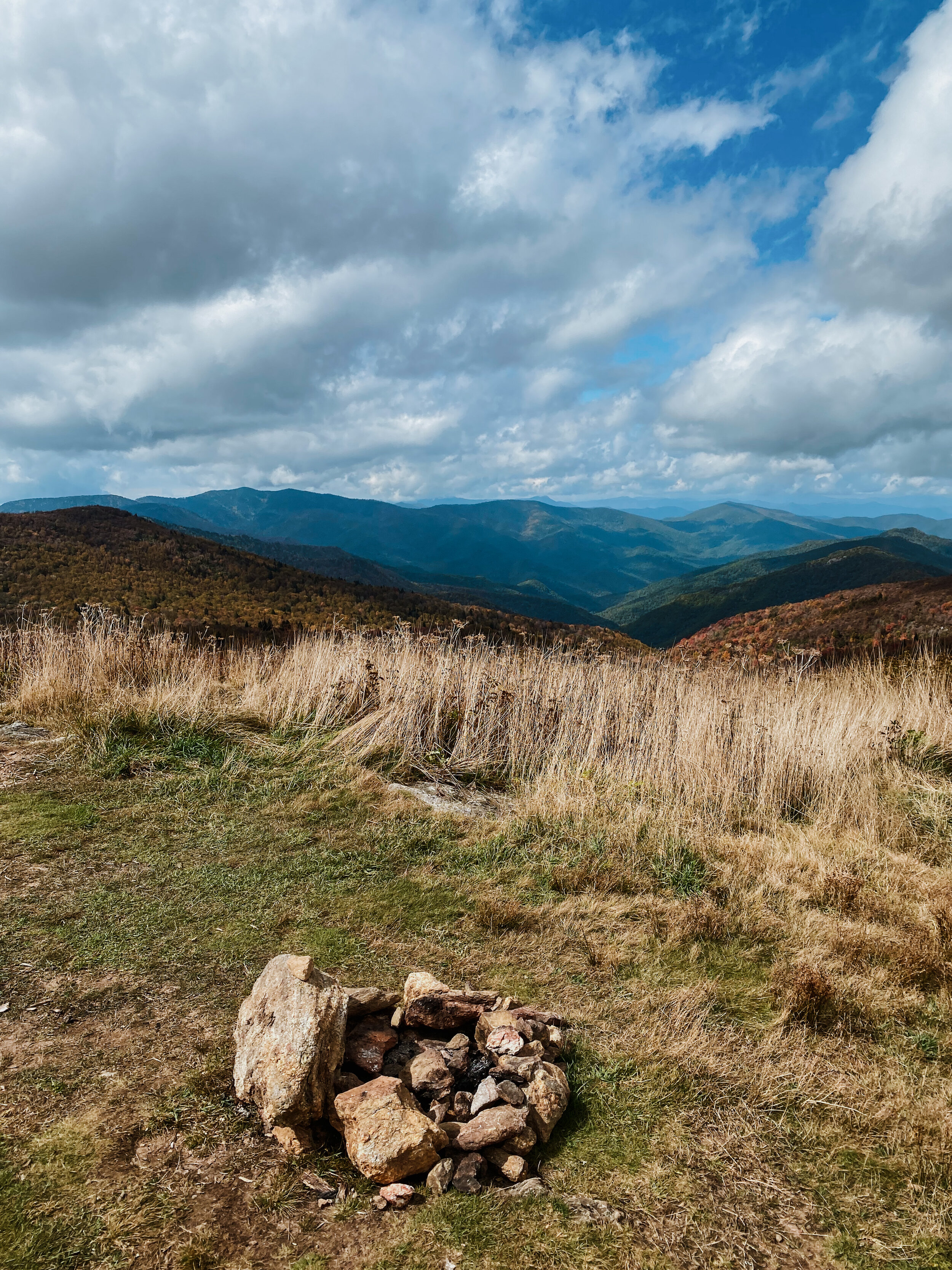
The Black Balsam Hike on the Art Loeb Trail is one of the most beautiful trails I’ve been on. And not because it’s scenic, but more so the hike mostly consists of an open-view trail on the mountain aka ‘bald.’ The Appalachian “balds,” like the Black Balsam and the Sam Knob, another nearby trail, are unique because they are covered with grass and low-growing vegetation, instead of the forest. It’s basically tree-free.
You get to feel the cool and fresh mountain air while also hiking with an incredible view for most of the way.
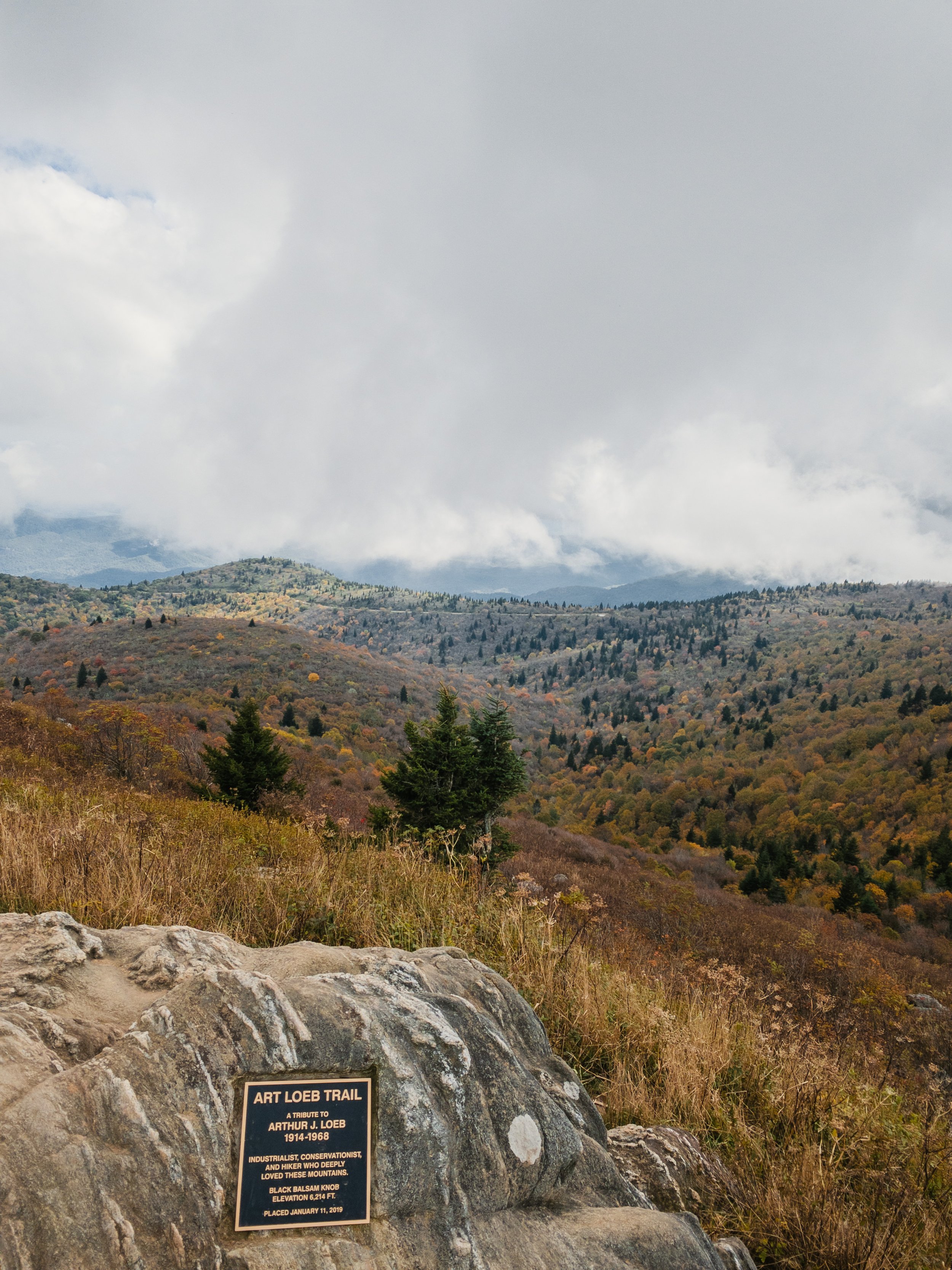

The Black Balsam Hike is an easy, family-friendly hike. We noticed a lot of campers on this trail because it’s an ideal spot for picnicking or even blueberry picking. The Art Loeb Trail is actually one of the longer and more difficult trails in the state. It’s a 30.1-mile trail located in Pisgah National Forest.
OTHER TRAILS TO VISIT:
Rough Ridge: Milepost 302.8 - Blue Ridge Parkway.
I’ve been to Rough Ridge a few times during my college years. The hike has breathtaking views. It’s 1.5 to 8 miles round-trip, ranging from moderate to strenuous)

Beacon Heights: Milepost 305 - Blue Ridge Parkway.
I’ve also been on the Beacon Heights Trail. It’s more on the easier side and not far from Rough Ridge. It’s 1 mile round-trip and perfect for picnics.
Linville Falls: Milepost 316 - Blue Ridge Parkway.
Linville Falls is one of the most photographed and well-known waterfalls in NC. The hike is moderate and 1.6 miles round-trip.
Crabtree Falls: Milepost 339 - Blue Ridge Parkway.
This is another beautiful waterfall along the Blue Ridge Parway. It’s 3 miles round-trip and close to Linville Falls.
Mt. Pisgah: Milepost 407.6 - Blue Ridge Parkway.
This is another popular hiking trail where you can hike up to the top of the 5,721-ft. summit. It’s 3 miles, round-trip.
I hope these recommendations were helpful! Have you visited any of these places on the Blue Ridge Parkway?

